MAKE A MEME
View Large Image

| View Original: | Rifle_Butts,_Crosland_Moor.png (2048x1021) | |||
| Download: | Original | Medium | Small | Thumb |
| Courtesy of: | www.flickr.com | More Like This | ||
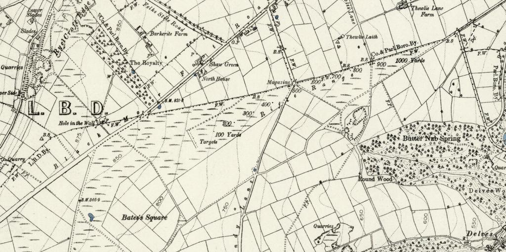
| Keywords: rifle butts, crosland moor riflebuttscroslandmoor 1894 maps crosland moor croslandmoor south crosland southcrosland 1894 OS map showing the location of the Rifle Butts 1,000 yard rifle range on Crosland Moor, used by the local Volunteer Rifle Corps in the late 1800s. Presumably anyone using Sandy Lane (which runs up to the Sands House Inn) would have been dodging bullets! The range had fallen into disuse by the early 1900s, but was rebuilt as a shorter 30 yard range for training in the First World War. Much of the range is now Crosland Moor Airfield, although what appear to be the remains of the earthworks around the 30 yard range can be seen on Google Maps just to the north of the runway. 1894 OS map showing the location of the Rifle Butts 1,000 yard rifle range on Crosland Moor, used by the local Volunteer Rifle Corps in the late 1800s. Presumably anyone using Sandy Lane (which runs up to the Sands House Inn) would have been dodging bullets! The range had fallen into disuse by the early 1900s, but was rebuilt as a shorter 30 yard range for training in the First World War. Much of the range is now Crosland Moor Airfield, although what appear to be the remains of the earthworks around the 30 yard range can be seen on Google Maps just to the north of the runway. | ||||