MAKE A MEME
View Large Image

| View Original: | Scotland_locator_map_2_September_2007_-_equidistant_cylindrical_blue_marble.png (905x732) | |||
| Download: | Original | Medium | Small | Thumb |
| Courtesy of: | commons.wikimedia.org | More Like This | ||
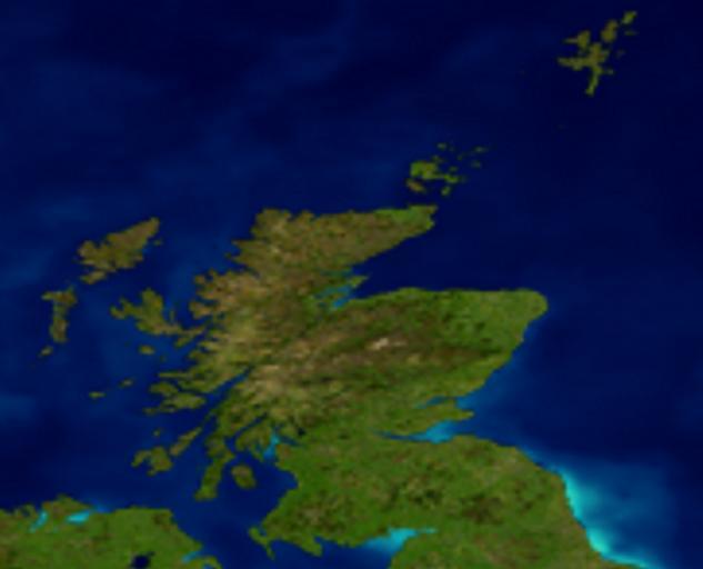
| Keywords: Scotland locator map 2 September 2007 - equidistant cylindrical blue marble.png Cropped version of Visible Earth The Blue Marble Land Surface Ocean Color and Sea Ice creating an equidistant cylindrical projection map of Scotland from -8W to 0E 54 5N to 61N suitable for use as a locator map of Scotland http //veimages gsfc nasa gov/2430/land_ocean_ice_8192 tif 2007 09 02 NASA Goddard Space Flight Center Image by Reto Stöckli land surface shallow water clouds Enhancements by Robert Simmon ocean color compositing 3D globes animation Data and technical support MODIS Land Group; MODIS Science Data Support Team; MODIS Atmosphere Group; MODIS Ocean Group Additional data USGS EROS Data Center topography ; USGS Terrestrial Remote Sensing Flagstaff Field Center Antarctica ; Defense Meteorological Satellite Program city lights NASA Terms of Use <br>For all non-private uses NASA's Terms Of Use are as follows The imagery is free of licensing fees NASA requires that they be provided a credit as the owners of the imagery Visible Earth Addendum <br>Beyond the NASA Terms the Visible Earth team requests but does not require The Visible Earth be provided a credit as the location that the imagery was found at A URL be provided either to the Visible Earth http //visibleearth nasa gov/ or to the page providing the link to the used image PD-USGov Satellite pictures of Scotland Locator maps of Scotland Maps of Scotland Compositing Blue Marble Next Generation images | ||||