MAKE A MEME
View Large Image

| View Original: | Secunda Europae Tabula (1511).jpg (2069x1600) | |||
| Download: | Original | Medium | Small | Thumb |
| Courtesy of: | commons.wikimedia.org | More Like This | ||
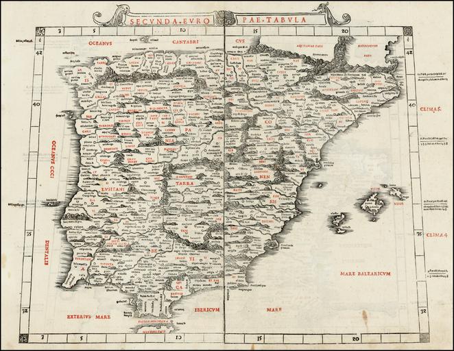
| Keywords: Secunda Europae Tabula (1511).jpg en The Second Map of Europe depicting Roman Spain Ispania Tarraconensis and Betica and Portugal Lusitania from Bernardo Silvani's Venetian edition of the Geography 41 2 x 49 7 cm 1511 <s>http //www oshermaps org/search/zoom php no 4 img0 Osher Map Library</s> https //www raremaps com/gallery/detail/29057/Secunda_Europae_Tabula_Spain_Balearic_Islands_and_Portugal/Sylvanus html BL Ruderman Antique Maps Ptolemy; Jacobus Angelus other versions <gallery> File Secunda Europae tabula 7537877568 jpg Secunda Europae Tabula España Baleares y Portugal por Bernardus Sylvanus jpg File Secunda Europae Tabula jpg </gallery> PD-old-70-1923 1511 maps Ptolemy's 2nd European Map 1511 Maps in Latin 1511 Ptolemy Europe 02 | ||||