MAKE A MEME
View Large Image
| View Original: | Spruner-Menke Handatlas 1880 Karte 36.jpg (10601x8743) | |||
| Download: | Original | Medium | Small | Thumb |
| Courtesy of: | commons.wikimedia.org | More Like This | ||
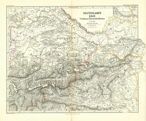
| Keywords: Spruner-Menke Handatlas 1880 Karte 36.jpg Deutschlands Gaue VI Bayern Österreich Kärnten Karl Spruner von Merz Heinrich Theodor Menke Hand-Atlas für die Geschichte des Mittelalters und der neueren Zeit 3 Auflage Gotha Justus Perthes 1880 Creator Heinrich Theodor Menke Creator Karl Spruner von Merz self scanned from own book PD-old-100-1923 Spruner-Menke Handatlas 1880 19th-century maps of Bavaria Old maps of Austria | ||||