MAKE A MEME
View Large Image
| View Original: | Szabadka_-_37-46.jpg (3528x4952) | |||
| Download: | Original | Medium | Small | Thumb |
| Courtesy of: | commons.wikimedia.org | More Like This | ||
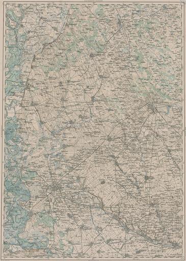
| Keywords: Szabadka - 37-46.jpg LÄNGE 37 46 3rd Military Mapping Survey of Austria-Hungary - Szabadka http //lazarus elte hu/hun/moterkep htm - László ZENTAI ca 1910 Military mapping authority of Austria-Hungary 3rd Military Mapping Survey of Austria-Hungary Old maps of Serbia Old maps of Vojvodina Maps of the history of Bačka Maps of the middle Danube PD-old | ||||