MAKE A MEME
View Large Image
| View Original: | Teluk_Kayeli.jpg (177x178) | |||
| Download: | Original | Medium | Small | Thumb |
| Courtesy of: | commons.wikimedia.org | More Like This | ||
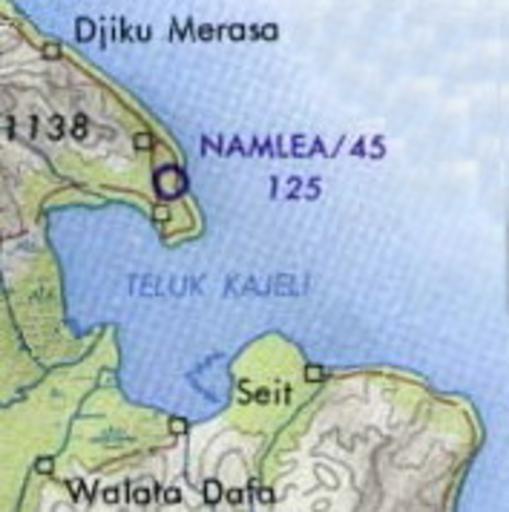
| Keywords: Teluk Kayeli.jpg Buru Island Operational Navigation Chart original scale 1 1 000 000 Portion of Defense Mapping Agency ONC M-12 1967 152K Not for navigational use http //www lib utexas edu/maps/middle_east_and_asia/buru_tpc_1967 jpg Buru_tpc_1967 jpg 2010-04-17 11 14 UTC Buru_tpc_1967 jpg User Davenbelle on http //en wikipedia org en wikipedia derivative work Insider <span class signature-talk >talk</span> crop Insider Buru_tpc_1967 jpg PD-USGov original upload log This image is a derivative work of the following images File Buru_tpc_1967 jpg licensed with PD-USGov 2006-06-07T11 23 23Z File Upload Bot Magnus Manske 1057x797 152064 Bytes <nowiki> Buru Island Operational Navigation Chart original scale 1 1 000 000 Portion of Defense Mapping Agency ONC M-12 1967 152K Not for navigational use http //www lib utexas edu/maps/mi</nowiki> Uploaded with derivativeFX Maps of Maluku PCL Bays of the Moluccas Kayeli Buru | ||||