MAKE A MEME
View Large Image

| View Original: | TopographicMapRhinelandWestphaliaDuisburg.png (459x697) | |||
| Download: | Original | Medium | Small | Thumb |
| Courtesy of: | commons.wikimedia.org | More Like This | ||
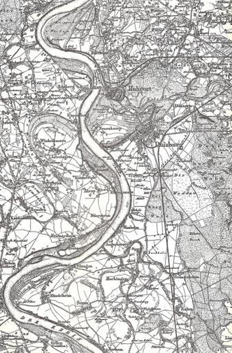
| Keywords: TopographicMapRhinelandWestphaliaDuisburg.png en Topographic Map of Rhineland and Westphalia foil Crefeld extract Duisburg and Ruhrort Germany Topographische Karte von Rheinland und Westfallen State of Prussia 1841 PD-old Check categories 2011 May 15 de wikipedia Duisburg 1 Old maps of Duisburg | ||||