MAKE A MEME
View Large Image
| View Original: | Turners_Falls_Canal_(Massachusetts)_map.jpg (608x651) | |||
| Download: | Original | Medium | Small | Thumb |
| Courtesy of: | commons.wikimedia.org | More Like This | ||
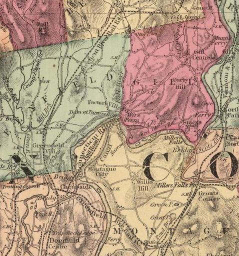
| Keywords: Turners Falls Canal (Massachusetts) map.jpg Map of Turners Falls Canal and environs Montague Massachusetts USA H F Walling and Ormando Willis Gray Official topographic atlas of Massachusetts page 43 Boston Stedman Brown Lyon 1871 This image has been cropped to remove extraneous terrain 1871 H F Walling and Ormando Willis Gray Public domain - author died more than 70 years ago PD-old Power Canal Montague Massachusetts Turners Falls Massachusetts | ||||
_map.jpg)