MAKE A MEME
View Large Image

| View Original: | Typus Orbis Ptol Descriptus.jpg (2185x1700) | |||
| Download: | Original | Medium | Small | Thumb |
| Courtesy of: | commons.wikimedia.org | More Like This | ||
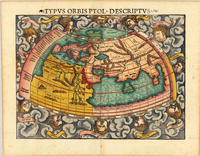
| Keywords: Typus Orbis Ptol Descriptus.jpg en The Map of the World Described by Ptolemy a world map using his second projection from one of Sebastian Mû¥nster's editions of the Geography Typus Orbis Ptol Descriptus mid-16th century http //raremaps com ua/articles/ D0 BE D1 80 D0 B8 D0 B3 D0 B8 D0 BD D0 B0 D0 BB D1 8C D0 BD D1 8B D0 B9- D0 BF D0 BE D0 B4 D0 B0 D1 80 D0 BE D0 BA- D0 B0- D0 BF D0 BE D1 87 D0 B5 D0 BC D1 83- D0 B8 D0 BC D0 B5 D0 BD D0 BD D0 BE Åî šŰšŧůţîŧîÅ¿ ŢŃÅÇůî ŃŤ ů ŢŃîÅçÅ¥î Å¡Å¥ÅçŧŧŃ îîůî šŧŧůî Ťůî îů Ptolemy other versions <gallery> File Geographia universalis by Sebastian Munster jpg 1540 version File Ptolemaisch General Tafel JPG 1540 version File Cosmographia Sebastian Mû¥nster p 045 jpg 1545 version File Altera Generalis Tab Secundum Ptol jpg 1550 version File Ptolemeisch General Tafel jpg 1588 version File Ptolemeisch General Tafel II jpg c 1588 version File Ptolemeisch General Tafel III jpg c 1588 version </gallery> PD-old-70-1923 16th-century maps of the world Maps in Latin Cosmographia Mû¥nster world Ptolemy's second projection 1540 | ||||