MAKE A MEME
View Large Image

| View Original: | UBBasel_Map_1677-1727_Kartenslg_Mappe_238-3_England.tiff (8289x10505) | |||
| Download: | Original | Medium | Small | Thumb |
| Courtesy of: | commons.wikimedia.org | More Like This | ||
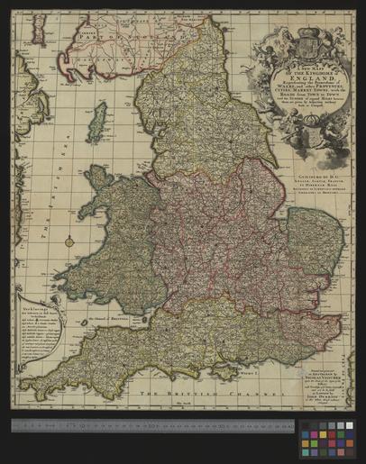
| Keywords: UBBasel Map 1677-1727 Kartenslg Mappe 238-3 England.tiff accession number Basel UB http //aleph unibas ch/F/ local_base DSV01 con_lng GER func find-b find_code SYS request 005758170 Kartenslg Mappe 238 3 Creator anonymous A new mapp of the kingdome of England representing the princedome of Wales and other provinces cities market towns with the roads from town to town and the number of reputed miles between them are given by inspection without scale or compass with priviledge of y e States Generalls cm 56 49 help warp Institution Basel University Library lat 55 8167/49 8333 6 5/1 75 map date Kupferdruck Titelkartusche oben rechts Erläuterungen unten links Verklaringe / Widmung unterhalb der Titelkartusche Guilielmo III D G Angliae Scotiae Franciae et Hiberniae regi religionis et libertatis oppressae liberatori ac defensori other fields other versions Basel University Library UB_Basel_Maps PD-old-100 User Basel University Library/Attribution-Recommendation Kartenslg Mappe 238 3 print date At Amsteldam Amsterdam printed and given out by Nicolas Visscher upon the Dam at the signe of the fisher Ca 1 1 200 000 http //dx doi org/10 3931/e-rara-13258 10 3931/e-rara-13258 Info http //suche kartenportal ch/ id 119666014 Kartenportal CH A new mapp of the kingdome of England wikidata location wikidata title Uploaded with GWToolset UBBasel_Map_1677-1727_Kartenslg_Mappe_238-3 http //www ub unibas ch/digi/wikicommons/out/005758170/image/4026709 tif UB Basel Maps Uncategorized | ||||