MAKE A MEME
View Large Image

| View Original: | UBBasel_Map_1795_VB_A2-2-96_Bratteler_Horn.tiff (9417x6450) | |||
| Download: | Original | Medium | Small | Thumb |
| Courtesy of: | commons.wikimedia.org | More Like This | ||
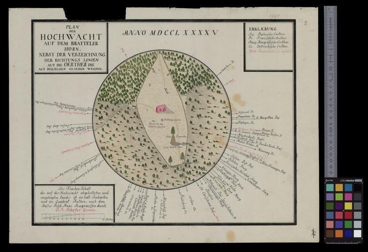
| Keywords: UBBasel Map 1795 VB A2-2-96 Bratteler Horn.tiff Plan der Hochwacht auf dem Bratteler Horn nebst der Verzeichnung der Richtungs Linien auf die Oerther die auf derselben gesehen werden / ausgemssen durch J J Schaefer Durchmesser 23 cm auf Bl cm 39 51 help warp Institution Basel University Library ger map date mehrfarbig other fields other versions Basel University Library UB_Basel_Maps PD-old-100 User Basel University Library/Attribution-Recommendation VB A2 2 96 print date Kein Massstab angegeben http //dx doi org/10 3931/e-rara-24226 10 3931/e-rara-24226 Info http //suche kartenportal ch/ id 115157166 Kartenportal CH Plan der Hochwacht auf dem Bratteler Horn wikidata location wikidata title Uploaded with GWToolset UBBasel_Map_1795_VB_A2-2-96 http //www ub unibas ch/digi/wikicommons/out/006025174/image/7501951 tif UB Basel Maps Uncategorized | ||||