MAKE A MEME
View Large Image
| View Original: | United_States_House_of_Representatives,_Washington_District_simplified_map.svg (743x625) | |||
| Download: | Original | Medium | Small | Thumb |
| Courtesy of: | commons.wikimedia.org | More Like This | ||
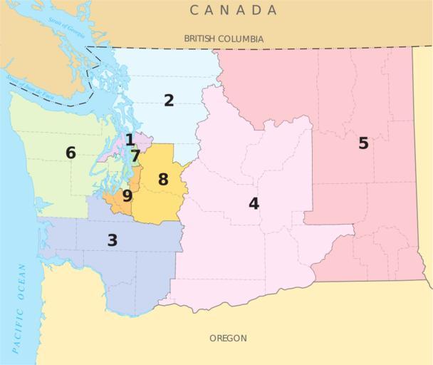
| Keywords: United States House of Representatives, Washington District simplified map.svg en A map of the pre-2012 redistricting w Congressional districts of Washington The map is from http //nationalatlas gov/printable/congress html wa nationalatlas gov specifically http //nationalatlas gov/printable/images/pdf/congdist/pagecgd110_wa pdf the PDF Map of Washington's Congressional Districts U S Government 2008-02-05 PD-USGov-Atlas This map is based on File United States House of Representatives Washington District map svg but with larger district numbers and county and town names stripped out in hopes of making something that scales down well PD-USGov Congressional district maps of Washington state | ||||