MAKE A MEME
View Large Image
| View Original: | Waterfowlflywaysmap.png (500x373) | |||
| Download: | Original | Medium | Small | Thumb |
| Courtesy of: | commons.wikimedia.org | More Like This | ||
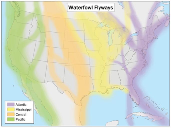
| Keywords: Waterfowlflywaysmap.png map This is a map of waterfowl flyways in the United States based loosely on U S Fish and Wildlife Service maps and originally published by the Natural Resources Conservation Service Cartography done by Karl Musser PD-USGov Maps of the United States | ||||