MAKE A MEME
View Large Image

| View Original: | Weg_Spandau-Berlin_1778.jpg (2000x1381) | |||
| Download: | Original | Medium | Small | Thumb |
| Courtesy of: | commons.wikimedia.org | More Like This | ||
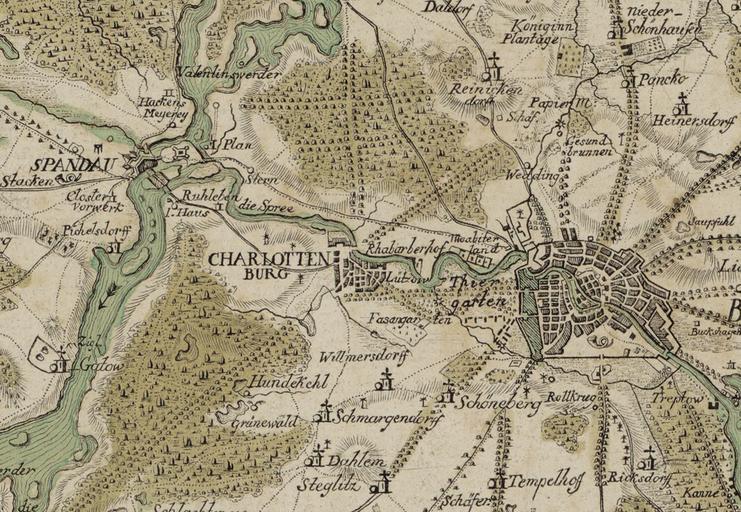
| Keywords: Weg Spandau-Berlin 1778.jpg Carl Ludwig von Oesfeld Format 39 5 x 31 7 cm Maßstab 1 220 000 Orient Nord Rechts unten der Titel auf einem Steinblock darüber der gekrönte Königlich-Preußische Adler mit den Initialen FR darunter eine Maßstabsleiste über 2 Teutsche Meilen à ber der Kartusche ein Kompass Bibliothèque nationale de France - Gallica http //gallica bnf fr/ark /12148/btv1b8440601n btv1b8440601n Carl Ludwig von Oesfeld Nonnendamm Berlin-Charlottenburg-Nord Nonnendammallee Berlin-Siemensstadt Old Maps of Berlin-Charlottenburg Old maps of Berlin-Spandau Parts of old maps of Berlin PD-old-70-1923 | ||||