MAKE A MEME
View Large Image
| View Original: | Weishui.png (718x656) | |||
| Download: | Original | Medium | Small | Thumb |
| Courtesy of: | commons.wikimedia.org | More Like This | ||
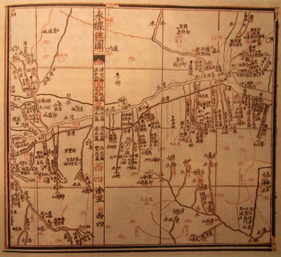
| Keywords: Weishui.png en The map shows the Wei River in Shaanxi China as it flows eastward towards the Yellow River It is from the Shui Jing Zhu or Commentary on the Waterways Classic The map is probably from the Three Kingdoms period third century AD Map from Shui Jing Zhu 水經注 My photo of map by Sang Qin 桑欽 third century AD revised by Li Daoyuan 郦道元 d 527 AD or Guo Pu 郭璞 d 324 AD Earlier than sixth century AD PD-Art Check categories 2011 October 20 en wikipedia Shui_Jing_Zhu zh wikipedia 水经注 中国 2 Geography of China Literature of China | ||||