MAKE A MEME
View Large Image

| View Original: | World borders sat 0 0 geostat.png (1824x1824) | |||
| Download: | Original | Medium | Small | Thumb |
| Courtesy of: | commons.wikimedia.org | More Like This | ||
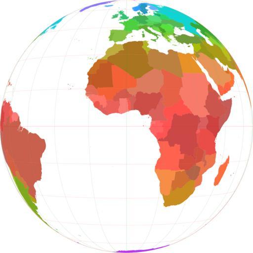
| Keywords: World borders sat 0 0 geostat.png nl Staatkundige kaart van een deel van de Wereld gebaseerd op een satellietprojectie geostationaire satelliet recht boven de 0 0 world_borders shp; The world_borders zip dataset is Shapefile of the world's international borders derived by Schuyler Erle from public domain sources 2006-12-06 <br/> original text 1 2006 Koenb wikipedia nl <br/> original text 1 productie van de afbeelding uit het shp-bestand Koenb public domain Koenb Original upload log page nl wikipedia World_borders_sat_0_0_geostat png 2006-12-06 22 07 Koenb 1824×1824×8 435718 bytes <nowiki> Staatkundige kaart van een deel van de Wereld gebaseerd op een satellietprojectie geostationaire satelliet recht boven de 0 0 world_borders shp; The world_borders zip dataset is Shapefile of the world's internationa</nowiki> Political maps of Africa Political world map projections Maps with azimuthal projection Maps of Earth's hemispheres Language-neutral maps 2006 maps | ||||