MAKE A MEME
View Large Image
| View Original: | Wzwz LaWoK a Map.png (896x918) | |||
| Download: | Original | Medium | Small | Thumb |
| Courtesy of: | commons.wikimedia.org | More Like This | ||
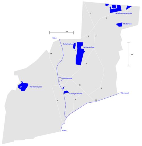
| Keywords: Wzwz LaWoK a Map.png en schematic map of lakes and waters of karlsfeld 2012-10-08 22 13 18 own Wzwz grey area area of Karlsfeld<br> blue areas and lines; waters<br> white lines main streets<br> M Münchner Straße<br> H Hochstraße<br> A Allacher Straße<br> J Bajuwarenstraße<br> Y Bayernwerkstraße<br> 4 Bundesstraße 471<br> <br>--<br> to change this picture you may use <br> http //home arcor de/wzwz de/wiki/bilder/kf1 htm <br> also publik domain requires a newer browser with javascript and canvas cc-zero Geography of Karlsfeld User wzwz | ||||