MAKE A MEME
View Large Image

| View Original: | Zandbergen_Drouwenerzand.jpg (1167x1352) | |||
| Download: | Original | Medium | Small | Thumb |
| Courtesy of: | commons.wikimedia.org | More Like This | ||
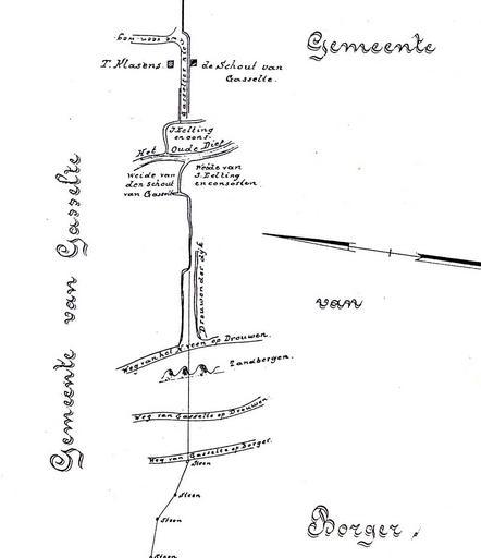
| Keywords: Zandbergen Drouwenerzand.jpg nl Grens tussen Gasselte en Borger getekend in 1813 fragment nl Kadastrale Atlas van Drenthe 1832 - Stichting Kadastrale Atlas van Drenthe 1832 - Dl V Gasselte ISBN 90-71623-05-X J Eisveld landmeter 1813 Old maps of Drenthe maps of Aa en Hunze Maps of Borger-Odoorn PD-old-100 Drouwenerzand natuurgebied | ||||